Rental
 Westrich Bay Rentals
1660 Old Ferry Wharf RoadWest Kelowna, BC
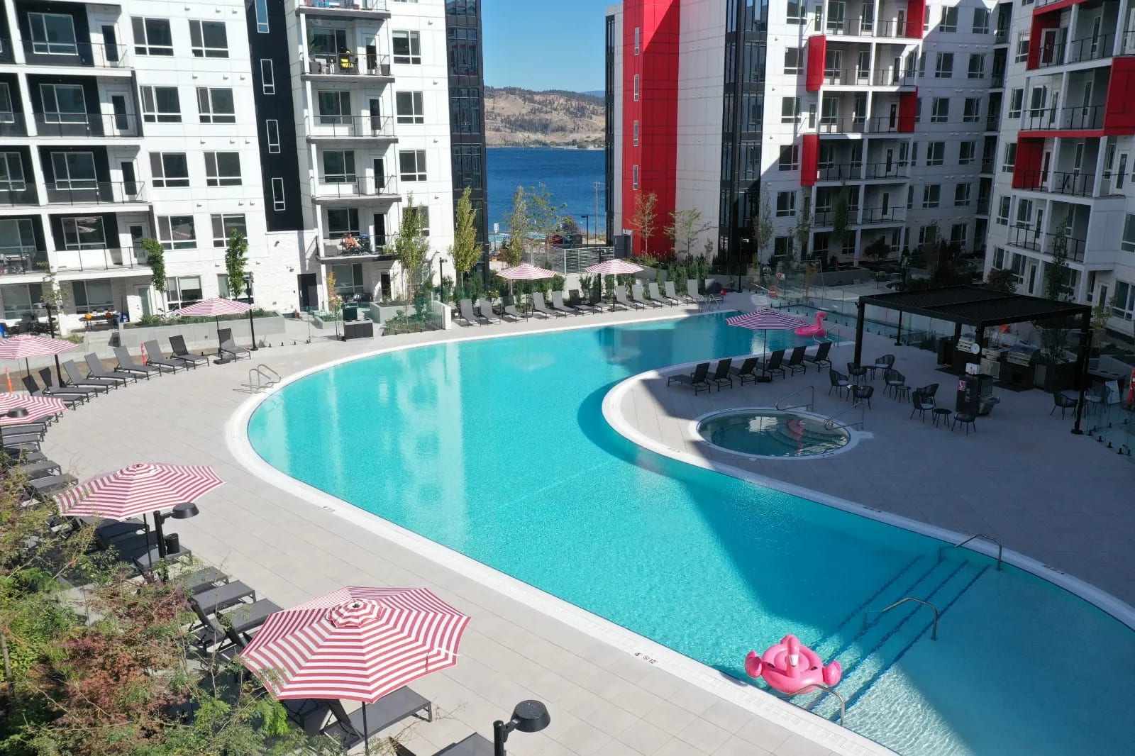 Now Leasing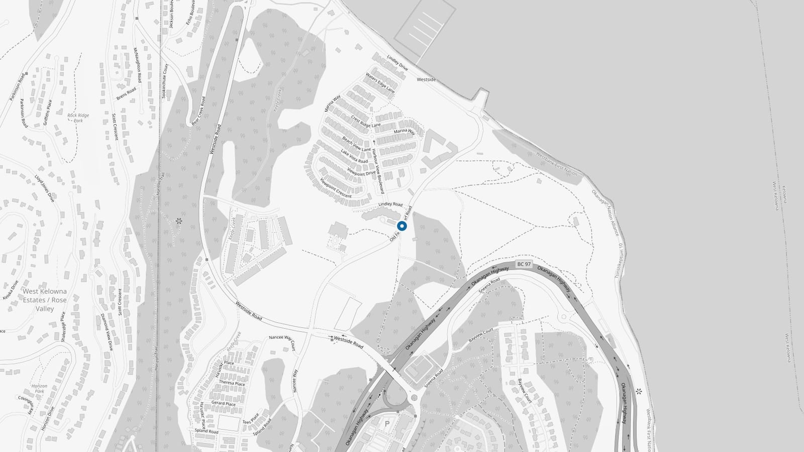
The third building at Westrich Bay, on Okanagan Lake.
Old Ferry Wharf Road, West Kelowna. Civic address to be confirmed.Map data © OpenStreetMap contributors, ODbL
01 Overview
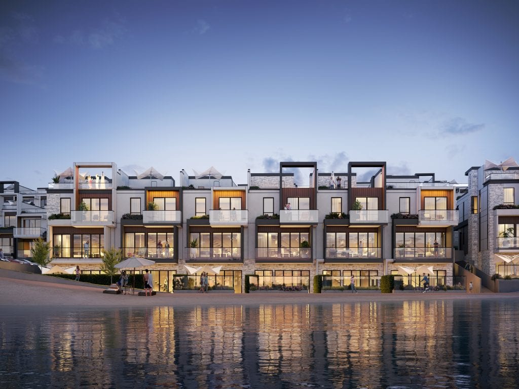
Bay Three is the third rental building at Westrich Bay, our waterfront community on Okanagan Lake in West Kelowna, following Bay One and Bay Two.
238 homes, with occupancy targeted for fall 2027. The civic address is still being confirmed.
Renderings are not available yet. The map above shows the site on Old Ferry Wharf Road; imagery will be published here once it is ready. To hear about suites before they are released, register your interest.
05 Location
Old Ferry Wharf Road is a short lakeshore road on the west side of Okanagan Lake, on Westbank First Nation lands adjacent to West Kelowna, about 1.5 km north of the William R. Bennett Bridge.
Bay Three is on Old Ferry Wharf Road, a road of about one kilometre running north from its junction with Westside Road and Nancee Way. It sits on Tsinstikeptum Indian Reserve No. 10, Westbank First Nation land in the Regional District of Central Okanagan, north of the William R. Bennett Bridge. The road takes its name from the wharf used by the Kelowna to Westbank car and passenger ferry, which crossed to downtown Kelowna until the first Okanagan Lake bridge opened in 1958.
06 More from Westrich Pacific
Rental
Westrich Bay Rentals1660 Old Ferry Wharf RoadWest Kelowna, BC
Now LeasingMixed-use
 Westrich Bay
1660 Old Ferry Wharf RoadWest Kelowna, BC
 Now Selling
Rental
 Harvey Heights
812 Saucier AveKelowna, BC
 Now Leasing